

Fixed wing Industry Services
HM Air offers a range of airwork applications, all of which can be tailored to meet your requirements.

Survey
We have been operating in the region since 1976, with an industry leading safety record and reputation for efficient, reliable and professional operations. We conduct surveys for major industries such as property inspections, power line assessments, environmental, mining and geological surveys.

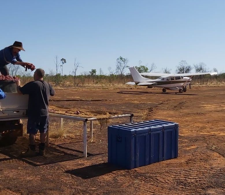
Aerial Baiting
HM Air Services is a trusted partner to a range of government, industry, corporate and private enterprises in providing aerial baiting services across NT and WA. We are on contract with the Kimberley Rangelands Biosecurity Organization until 2025.
- Our aircraft are high wing monoplanes with double rear cargo doors, suited to loading and carrying large quantities of baits
- All baiting is conducted using GPS navigation and recording system, that provides flight data, bait drop locations and aircraft track lines
- Our pilots have extensive low-level flying and baiting experience
- Aerial baiting methodology can be tailored to suit each client’s specific requirements

Freight
Stores and General Freight
Whether it's a critical component to ensure an operation continues to function or restocking a remote station, HM Air Services can satisfy most of your freight needs throughout the Top End. Our aircraft can quickly be reconfigured to provide you all the space you need to optimise the cost of chartering.
- Wet and dry season remote community stores deliveries
- Medical supplies
- Equipment for tradespeople
- Rapid delivery of emergency parts
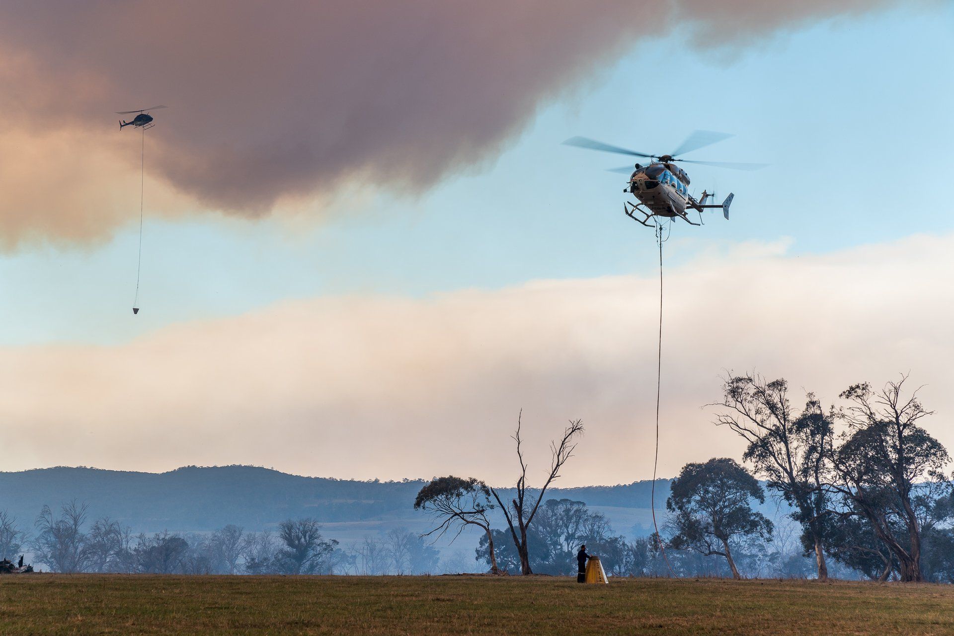
Aerial Incendiary
Aerial Incendiary from a fixed wing aircraft is an economical, fast and efficient way to achieve Carbon Abatement Program and bushfire management outcomes. Our C206 is fitted with a Raindance 3 incendiary machine specially engineered to safely deploy capsules through a chute meaning flights can be conducted at cruise speed with doors on. Our trained pilots and bombardiers can work to custom GPS files and all data is logged and recorded through the Tracmap platform.
Call us to discuss your aerial incendiary requirements today!
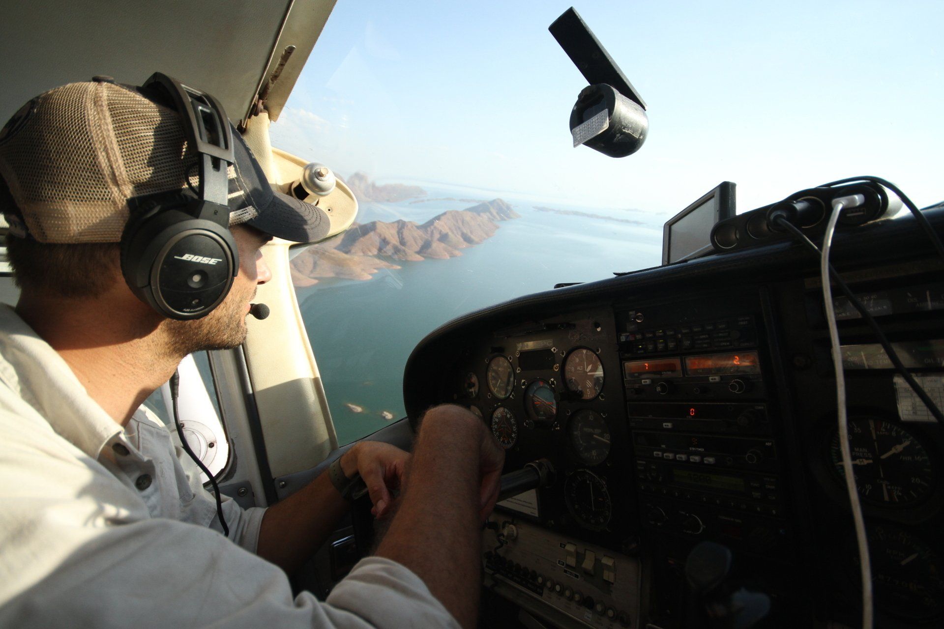
Survey
We have been operating in the region since 1976, with an industry leading safety record and reputation for efficient, reliable and professional operations. We conduct surveys for major industries such as property inspections, fire surveys, power line assessments, environmental, animal, mining and geological surveys.
Our Cessna 206H's are equipped with EO'd survey poles and a custom survey window.
Aerial Baiting
HM Air is a trusted partner to a range of government, industry, corporate and private enterprises in providing aerial baiting services across NT and WA. We are on contract with the Kimberley Rangelands Biosecurity Organization until 2025.
- Our aircraft are high wing monoplanes with double rear cargo doors, suited to loading and carrying large quantities of baits
- All baiting is conducted using GPS navigation and recording system, that provides flight data, bait drop locations and aircraft track lines
- Our pilots have extensive low-level flying and baiting experience
- Aerial baiting methodology can be tailored to suit each client’s specific requirements

Freight
Whether it's a critical component to ensure an operation continues to function or restocking a remote station, HM Air Services can satisfy most of your freight needs throughout the Top End. Our aircraft can quickly be reconfigured to provide you all the space you need to optimise the cost of chartering.
- Wet and dry season remote community stores deliveries
- Medical supplies
- Equipment for tradespeople
- Rapid delivery of emergency parts

Aerial Incendiary
Aerial Incendiary from a fixed wing aircraft is an economical, fast and efficient way to achieve Carbon Abatement Program and bushfire management outcomes.
Our C206 is fitted with a Raindance 3 incendiary machine specially engineered to safely deploy capsules through a chute meaning flights can be conducted at cruise speed with doors on. Our trained pilots and bombardiers can work to custom GPS files and all data is logged and recorded through the Tracmap platform.